Nisarga Effect More Rain Likely to Have in Bihar: Latest Update
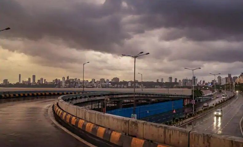
Nisarga Effect More Rain Likely to Have in Bihar. On Thursday light rainfall occurred at the northwest and southeastern parts of Bihar. It has been said that Southwest is likely to receive more rainfall in the coming 48 hours.
After Cyclone Nisarga passed over Gujarat and Maharashtra now they are moving towards Bihar. A moderate rainfall alert has been issued across Bihar. On both Friday and Saturday, the Bihar state are likely to expect rainfall.
Nisarga was likely to move northeast and weaken into low pressure. Then it will eventually enter Nepal from Bihar and die down there. On Thursday also rain occurred in some parts of Central Bihar. Also likely to receive more rainfall in the coming 48 hours.
Moderate rainfall alert:
- Aurangabad
- Jehanabad
- Rohtas
- Bhojpur
- Bhabua
- Patna
Heavy rain alert:
- West Champaran
- Siwan
- Gopalganj
- Sitamarhi
- Madhepura
- Darbhanga
- Vaishali
- Samastipur
- Purnia
- Kishanganj
- Sheohar
Nisarga is expected to die out in Nepal via passing through Uttar Pradesh and adjoining West Champaran district in Bihar. The remnant clouds along with a less marked trough are expected to lead to light showers in parts of the state till June 7th.
The advancement of monsoon current so far has been good. A depression is likely to develop over central and east central bay of Bengal around 8th June. this will push the monsoon current further towards northeast and eastern states including Bihar.
ALSO READ: Why India and Nepal arguing over kalapani? – Latest Update
A weather bulletin has also said that More Rain Likely to Have in Bihar. there must be a condition when there will be more likely to become favorable for further advancement of southeast monsoon into some parts of the central Arabian sea, Karnataka, Tamil Nadu, Puducherry and some parts of west-central bay of Bengal during next 2-3 days.